****JavaScript web menu drop down DHTML menu generated by NavStudio. (OpenCube Inc. - http://www.opencube.com)****
|
|
|
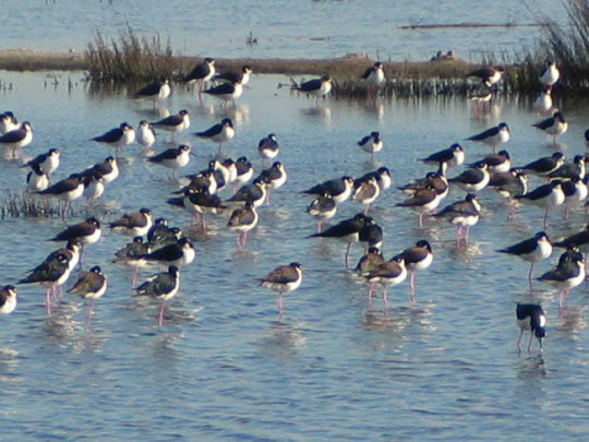
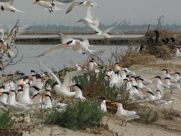
SAN DIEGO BAY is an extremely productive area for natural resources, providing an important home or major migratory route (Pacific Flyway) for hundreds of species of fish, birds, mammals, plants and invertebrates (e.g., shrimp, crabs, mussels, snails) that are found over thousands of acres of acres of marine, estuarine, marsh, and water habitats.
Historically, San Diego Bay was once one of the richest wildlife resources along the California/Baja coast. Environmental historians believe that the Bay was a pristine marshland in the 1500s. The Bay was host to a wealth of native wildlife including osprey, halibut, mussels, lobster, and whales. 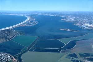 During the past 100 years it is evident from qualitative records (e.g., photographs) that San Diego Bay has undergone considerable changes in the extent and health of biological habitats and their associated plants and animals (San Diego unified Port District, 1995). During the past 100 years it is evident from qualitative records (e.g., photographs) that San Diego Bay has undergone considerable changes in the extent and health of biological habitats and their associated plants and animals (San Diego unified Port District, 1995).
In the mid 1800s, the Bay had approximately 2,700 acres of intertidal saltmarsh and over 4,000 acres of intertidal mudflat (Ford et al., 1994).These habitats provide important living and feeding areas for numerous invertebrates, fish and the birds that feed on these animals. In the early 1900s, however, the area of intertidal saltmarsh and mudlflat began a period of steady decline due to increased, Bay-wide development, while in South San Diego Bay saltponds began to increase slightly due to commercial expansion. Eelgrass habitats were also quite extensive in the pre-1900s period. These habitats are of particular importance as nursery and feeding areas for many fish and invertebrates in the Bay. Dredge and fill activites starting n the mid-1800s were major factors in reducing eelgrass acreage. Further reductions were caused by significant decreases in water quality and clarity from large-scale contaminant discharges through at least the mid-1970s (SAIC, 1998). However, it should be noted, due to the elimination of sewage discharges to the Bay, better enforcement of State and Federal discharge regulations and extensive eelgrass restoration projects, eelgrass beds have been generally expanding. Next page >> |
|