
(Please note: this page is image intensive; it will take a few minutes to download. We appreciate your patience.)
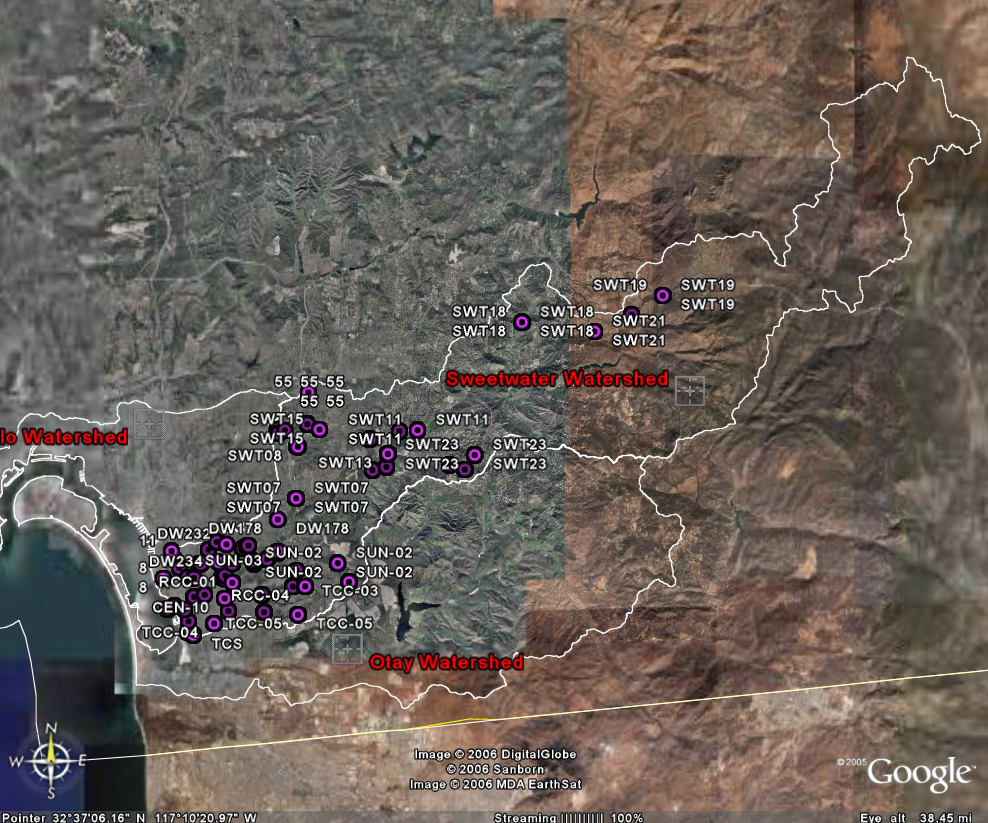
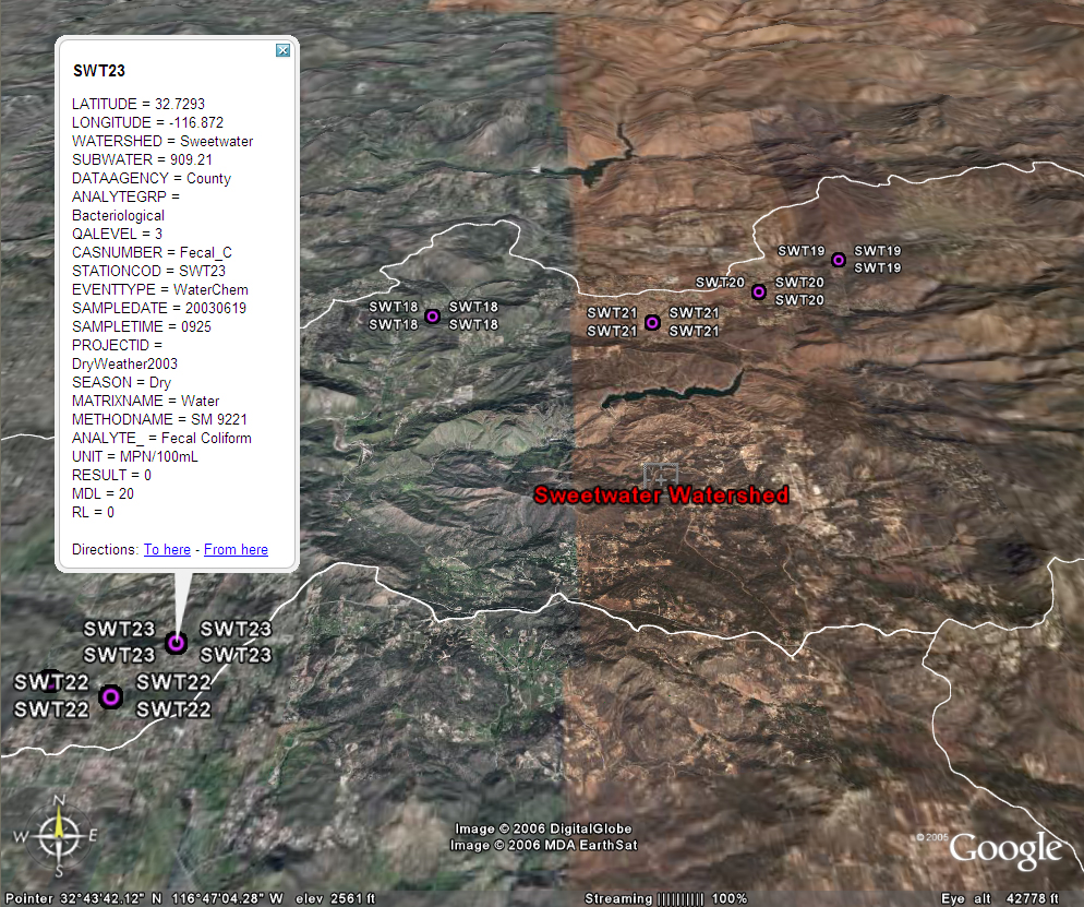
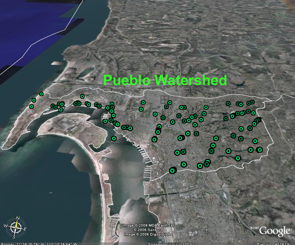
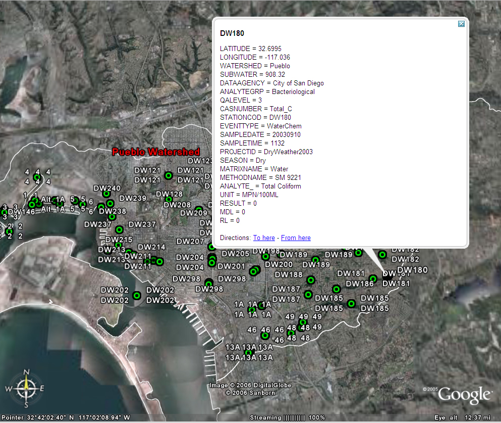
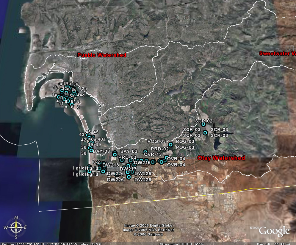
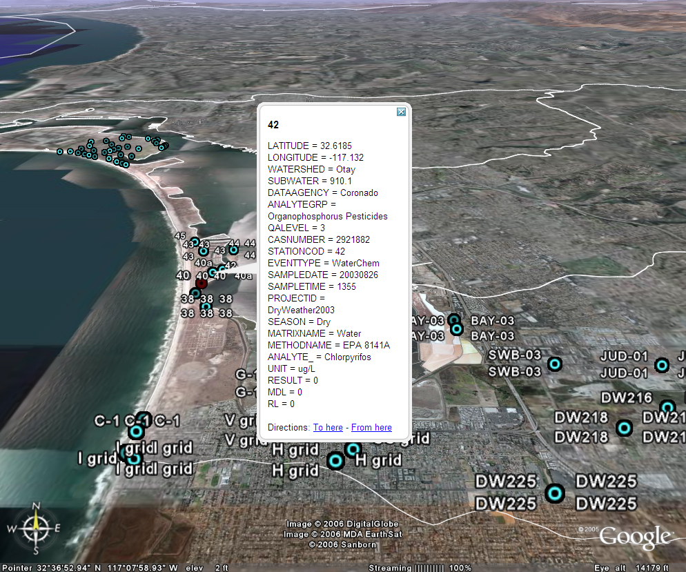
The screen shots below are the examples of using Google Earth with KML (Keyhole Markup Language) to display the water quality monitoring sites in a 3D view. Users can dynamically fly-through these locations and visualize the general locations of these monitoring sites in different watershed areas (Otay, Peublo, and Sweetwater). By clicking on the link to the KML/KMZ files, you will launch the Google Earth with these monitoring sites and the San Diego Watershed Boundary (white lines).
Click Here for Pueblo watershed and monitoring sites
Click Here for Otay watershed and monitoring sites
Click Here for Sweetwater watershed and monitoring sites
Click Here for San Diego Bay watershed and monitoring sites
Click Here for San Diego Bay watershed boundary
* Google Earth Must be installed to view these links correctly (click here to download)
Pueblo watershed and monitoring sites
Otay watershed and monitoring sites
Sweetwater watershed and monitoring sites